2019
Topography Analysis
Topographic data processed into line drawings, revealing the structural geometry of terrain through contour and wireframe representations.
← Back to feed Satellite reference ![]()
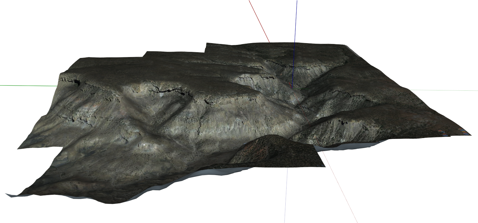
Topography Analysis
Topographic data captured and processed into contour line drawings and wireframe representations, revealing the structural geometry of terrain forms.