2019
Baltimore Mapping: Jones Falls Watershed
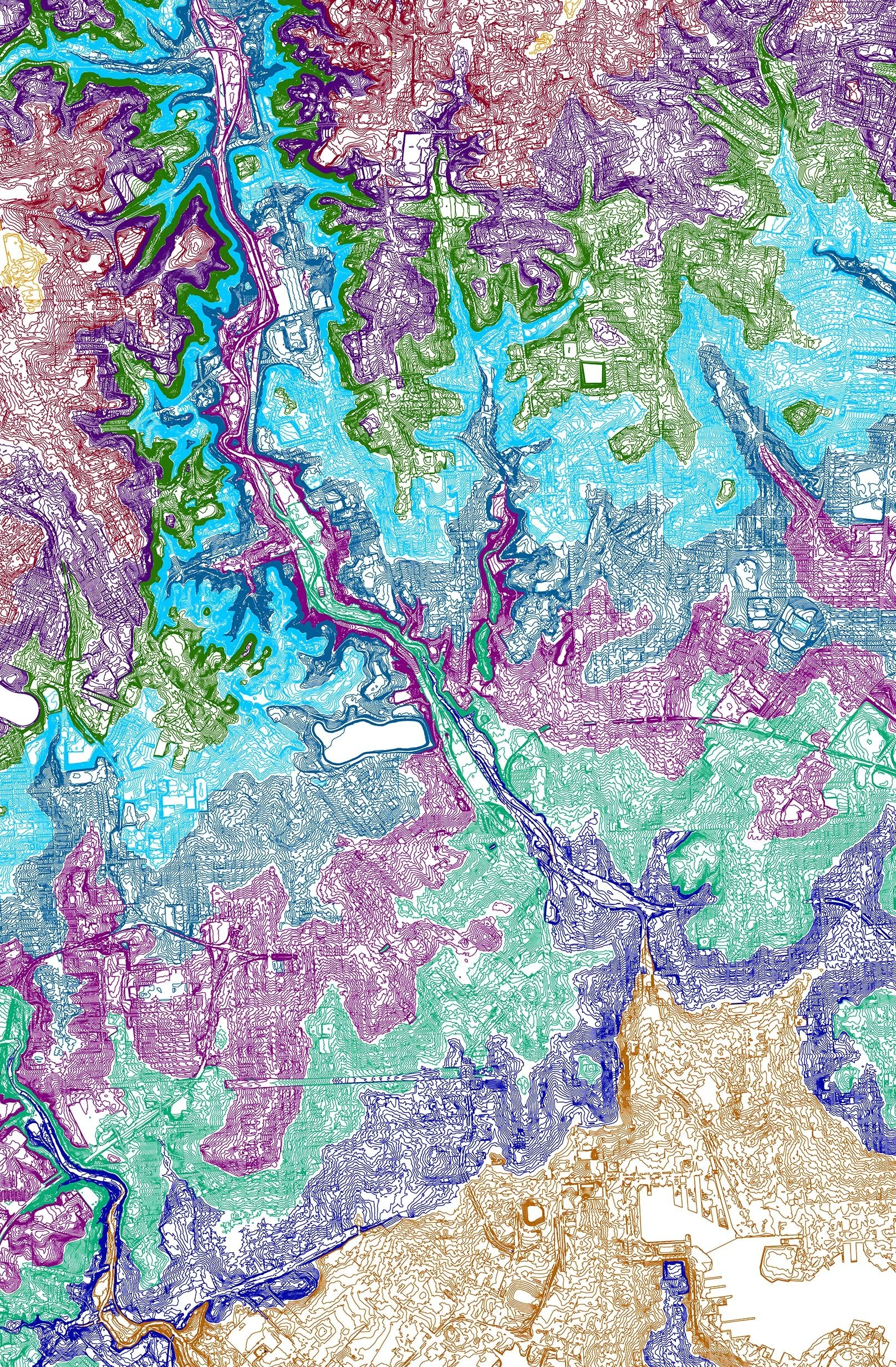
Elevation and watershed mapping of the Jones Falls corridor in Baltimore, rendered as contour and area maps.
← Back to feed Jones Falls watershed elevation map Baltimore, Jones Falls surrounding area ![]()
Baltimore Mapping
Jones Falls Watershed
Elevation contour and area mapping of the Jones Falls watershed in Baltimore, Maryland — documenting the topography and urban context of the corridor.